Buford.
New York: 2016 miles. San Francisco: 1368 miles.
1915 LHA: Pop. 80, Alt. 7780 feet. No tourist accommodations. Route marked through town and county. One general business place, 1 R.R., 1 Exp. Co., 1 Tel. Co., 1 public school. Beautiful scenery.
This station is approached high up on the side of a ravine, and through deep cuts in granite spurs. A telegraph station from which can be seen the “Twin Mountains,” two peaks in the Black Hills, near which the noted desperado, Jack Slade, once made his retreat. (End LHA)(1)
Named for Fort John Buford after the Major General, (Civil War).(2)

Union Pacific discontinued rail service to Buford sometime in the late 1960’s. The depot was probably demolished shortly after.
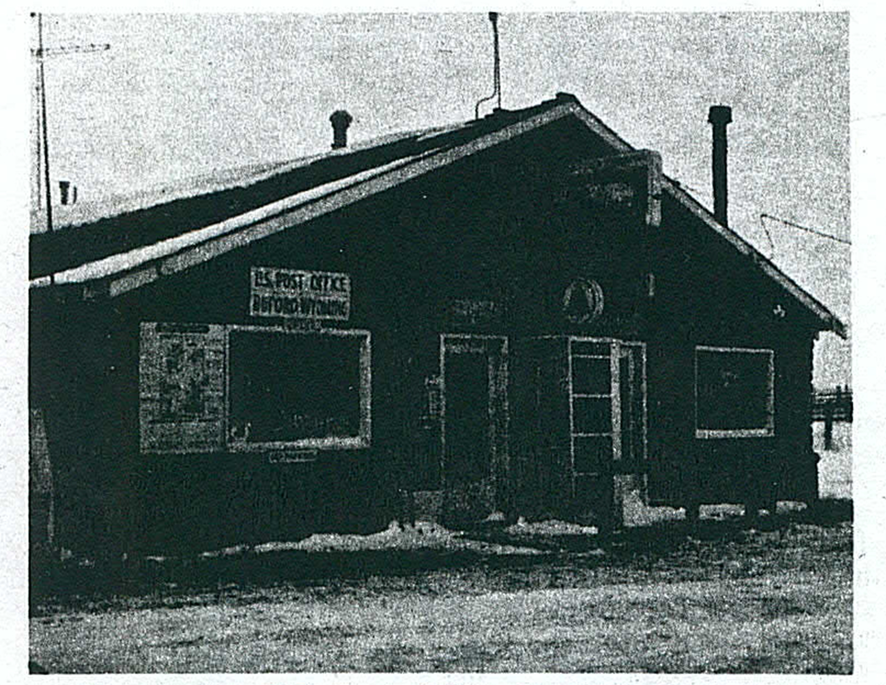
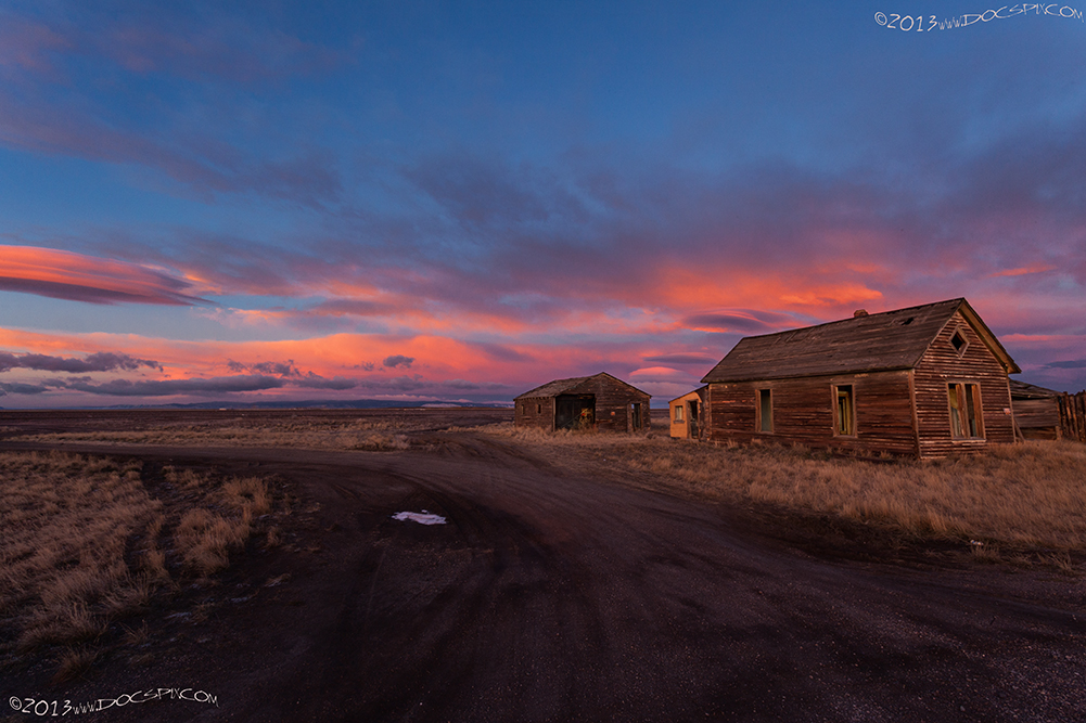
None of the structures from either the original town nor any of the buildings that were placed here in subsequent years remain. Most of the buildings that were located here were destroyed by fire in 2003. The owner, Don Sammons, rebuilt and re-opened the Buford Trading Post. He sold the town in April of 2012.
The gas station and convenience store are still in operation as of 2022.
===============
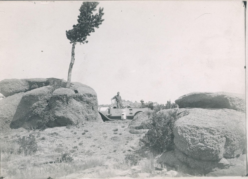
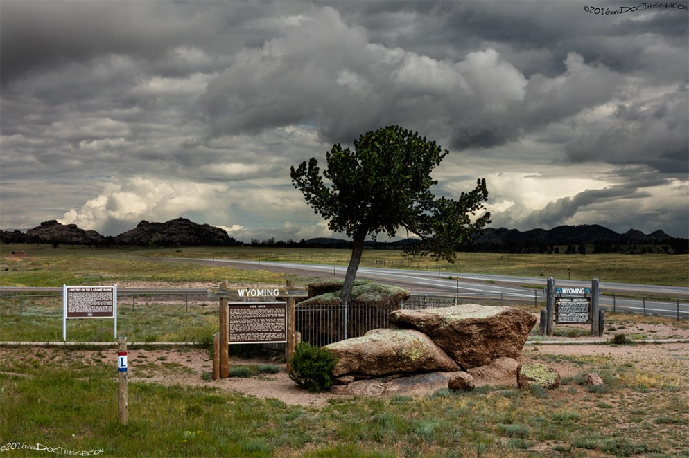
Tree in the Rock
===============
Sherman Hill, (Hermosa R.R. Station).
New York: 2022 miles. San Francisco: 1362 miles.
1915 LHA: Pop. 40, Alt. 8247 feet. No tourist accommodations. Store and blacksmith shop. Gas, oil, and supplies may be obtained. NOTE TO TOURISTS: Cherokee Park, Colorado, about 18 miles south, may be reached over automobile road by detouring here. Follow the single blue band marking.
The Highway passes close to the famous Ames monument 65 feet in height, erected to the memory of Oakes and Oliver Ames, to whose efforts the completion of the U.P.R.R. was mainly due. The view from this site is inspiring. To the south, Long’s peak in Colorado is visible. (End LHA)(1)
Originally named Altimont[sic], meaning high point on top of hills. It was later renamed Sherman for the civil war General, William Tecumseh Sherman; this was done at his request. General Sherman was quoted in the Cheyenne Daily Leader on September 8th, 1880: “that in 1867, when he was out here on military business, Mr. Hoxie, the chief of the surveying corps, showed him a map of the road, and said they had named a station Sherman. “Where is it?” asked the general of Mr. Hoxie. “Down here in Nebraska,” replied Mr. Hoxie. “Oh, I don’t’ want a water station named for me,” said Sherman. “Why nobody will live here. Where is the highest point on the road?” Mr. Hoxie pointed it out. It was named Altimont[sic]. “Just scratch out that name, and put down mine,” said Sherman. Mr. Hoxie did so, and Gen. Sherman is proud of Sherman Station. “What name was given the station in Nebraska from which your name was taken?” we asked. “Oh, God only knows,” replied the old general. “But I’ve heard it contains only a water tank and a section house.”(4)
Mr. Hoxie was Herbert M. Hoxie, who, among other things, was an official with the Union Pacific and was a part of the Credit Mobilier of America Scandal.


The original alignment of the Lincoln Highway went to the southwest of the Ames Monument, on what is today Hermosa Road. Travelers would have passed through the little burg of Tie Siding.

“View of Tie Siding – Black and white photograph of Tie Siding in the 1890’s.”(10)
The scene in the image above was made near the original location of the town; just northwest of the railroad crossing at Hermosa Road. Today, nothing remains of the townsite; the buildings travelers pass by on U.S. 287, (about half-way between Laramie and the Colorado state line) were all constructed after the mid-1960’s.

The original 1913 alignment was replaced in 1924 with the route going through Telephone Canyon, which is virtually the same route that the Interstate takes today.
(1915 LHA): “From LARAMIE to MEDICINE BOW the roads are generally level, some dirt, some dirt, and gravel, some have been graded, showing the possibility of improved roads by the skillful treatment of the native material.”(1)

This monument was originally dedicated on July 2nd, 1939 to the memory of Henry Bourne Joy, (1864-1936) and placed near the Continental Divide Road exit on I-80, (exit 184. More info: Sweetwater County). The story that is told that during one of his many treks across the country during the early days of the Lincoln Highway, Henry Bourne Joy saw the most beautiful sunset of his life at this location and wanted to be buried here. His family decided not to honor this wish and buried him in the family plot in Detroit. Instead, they chose to honor his memory by placing this monument here. In 2001, the Wyoming Department of Transportation moved it to the Summit rest area, (exit 323) placing it at the base of the Lincoln Memorial Monument. This was done to prevent further damage from vandalism due to the remote location.
====================================================================
During the eighteen month period between the announcement of the Lincoln Highway and when the association released its “Complete Official Road Guide of the Lincoln Highway” in March of 1915, there were two choices drivers could make when traveling between Laramie and Rawlins. These were known as the Elk [Mountain] Road and the [Medicine] Bow Road. Ultimately, the Medicine Bow route would be chosen as the Lincoln Highway. The Elk Mountain route was twenty miles shorter, but had, (depending on the source), between 18 and 27 gates which needed to be opened and closed.
The following image(s) are of properties in Albany County between Laramie and Elk Mountain:

-More images coming soon-
Wyoming, a.k.a. Two Rivers
Originally called Wyoming, (c.1868-1878), renamed Two Rivers because the town was located at the confluence of the Big and Little Laramie Rivers. The town was moved in c.1900 when the U.P. R.R. performed a rail re-alignment.
This town is not included in the 1915 LHA guidebook; however, since the town’s plat was legally recorded in 1934, its inclusion is warranted. This was a railroad stop and had no tourist accommodations that were of note by 1915.

Bosler.
1915 LHA: New York: 2060 miles. San Francisco: 1324 miles.
Pop.75 Albany County. Two hotels, accommodations for 68. Lincoln Highway, $1.50, Amer.; Mountain View, $1.50, Amer. One garage; Gas, 22 1/2c; Oil, 40c-80c. Route marked through town and county; signs at approach of town. Extensive road improvement planned for 1915. Good detour road without mileage increase over L.H. One R.R. crossing at grade, not protected. One R.R., 3 general business places, 1 Exp. Co., 1 Tel. Co., 1 newspaper, 2 public schools. Good hunting and fishing. Camp site. (End LHA)(1)
Bosler was founded by Frank Bosler, a rancher who needed to transport livestock and other goods from his ranches near here. Most of these ranches still exist today – many having been consolidated into larger operations – but their livestock is shipped by truck.(5)

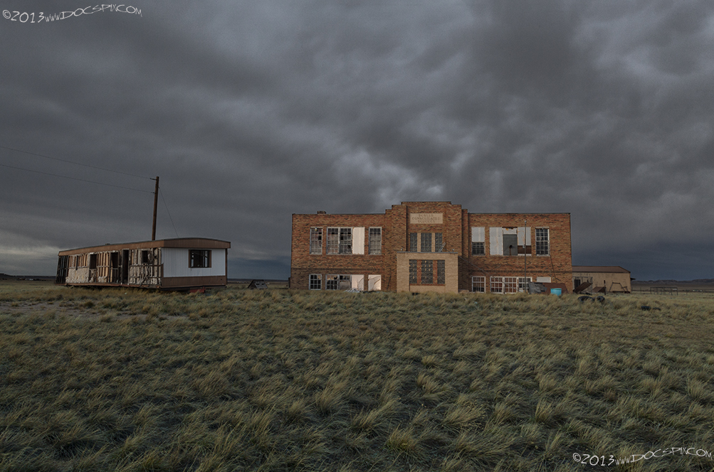
The Bosler Consolidated schools was constructed in 1936 by the townspeople – only one general contractor was involved in the construction. It opened in 1937 and closed in 1983 when the last class of 7 students and one teacher left. The school was decommissioned sometime in the late 1980’s; a family owned and lived in the school until the early 1990’s. It’s been (mostly) abandoned since.
Cooper Lake.
1915 LHA: New York: 2065 miles. San Francisco: 1319 miles.
Alt. 7,073 feet. Albany County. Nothing but a section house. No accommodations for tourists. Drinking water, radiator water, and camp site[sic]. (End LHA)(1)
“Named for Major Cooper, native of England.” (6)

Lookout.
1915 LHA: New York: 2068 miles. San Francisco: 1316 miles.
Alt. 7,172 feet. Albany County. Railroad. No accommodations for tourists. Drinking water and radiator water can be obtained. Camp site. There are several large stock ranches near here. (End LHA)(1)
“Named in 1868 by U.P. officials – High point on railroad could see in all directions.” (7)
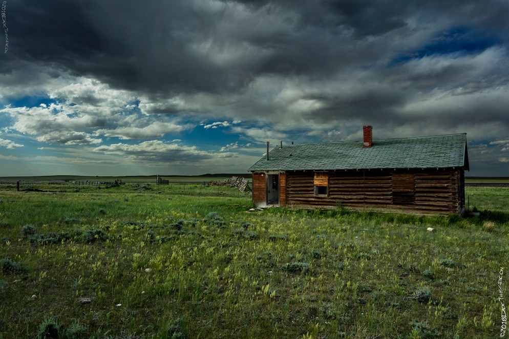
Today, this section house is home to more wildlife than people. According to census records, the tiny burg of Lookout never had a population of any more than about 30 people.
Harper.
1915 LHA: New York: 2074 miles. San Francisco: 1310 miles.
Albany County. Railroad section house. No tourist accommodations. Drinking water, radiator water. Camp site. (End LHA)(1)
“Section house on the railroad named in 1868 for George Harper, stockman; mayor of Laramie in 1895.”(8)
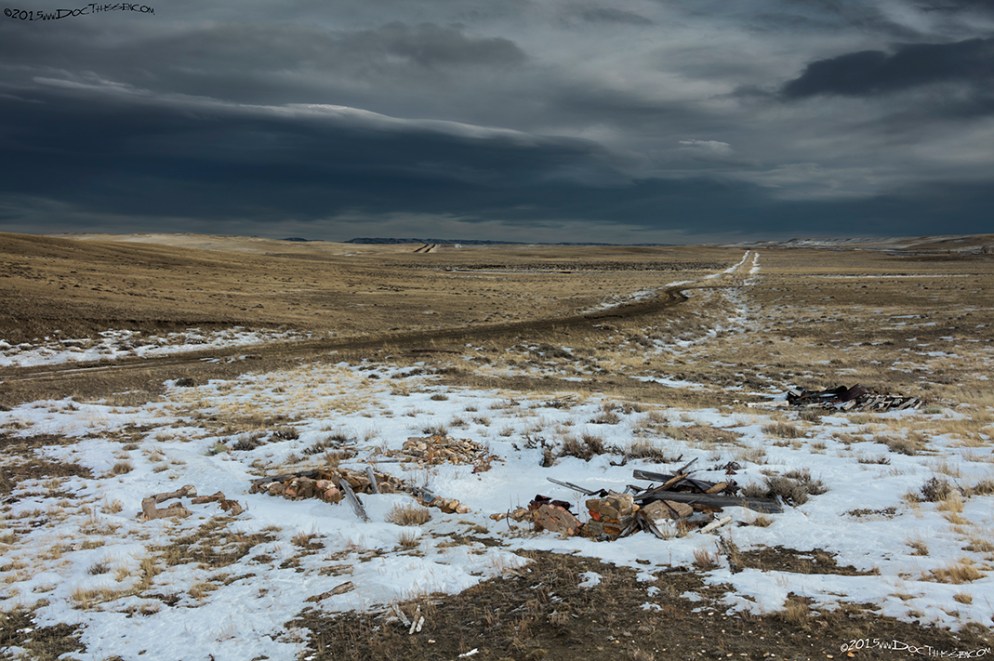
The two-track road in the center of the image was the original UPRR line, (c.1868). The Lincoln Highway Association adopted the abandoned railbed in 1913.
The previous two images were made with the permission of the property owner. Please do not ask either the exact location or for the property owners name.
Rock River.
1915 LHA: New York: 2079 miles San Francisco: 1305 miles.
Pop. 200 Alt.6,904 ft. Albany County. One hotel, accommodations for 20. Phelan Hotel. One garage; storage, night, 50c; Gas, 25c, Oil, 75c. Local speed limit 15 m.p.h., enforced. Route marked through town and county. Extensive road improvement planned for 1915. Good detour road without mileage increase over L.H. One bank, 1 R.R., 9 general business places, 1 Exp. Co., 1 Tel. Co., 1 public school, water works, 5 automobiles owned. Camp site[sic]; good fishing. (End LHA)(1)
“Named for the stream Rock Creek, 624.6 miles from Omaha that the original line crosses. When the U.P. changed the railroad bed west of the old Rock Creek Station, it was necessary to give the station a new name since a post office was maintained for several years after the line changed at Rock Creek. Rock River was then given.”(9)

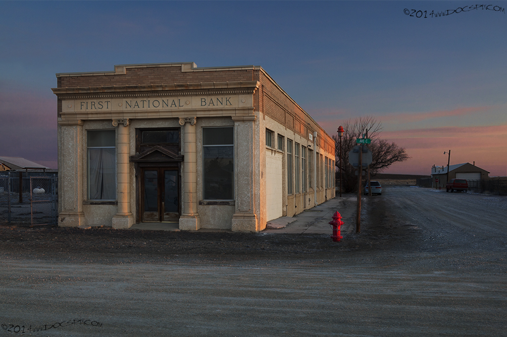
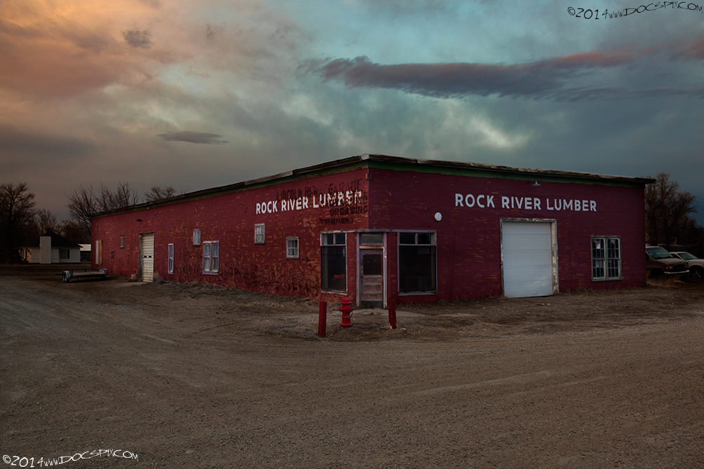


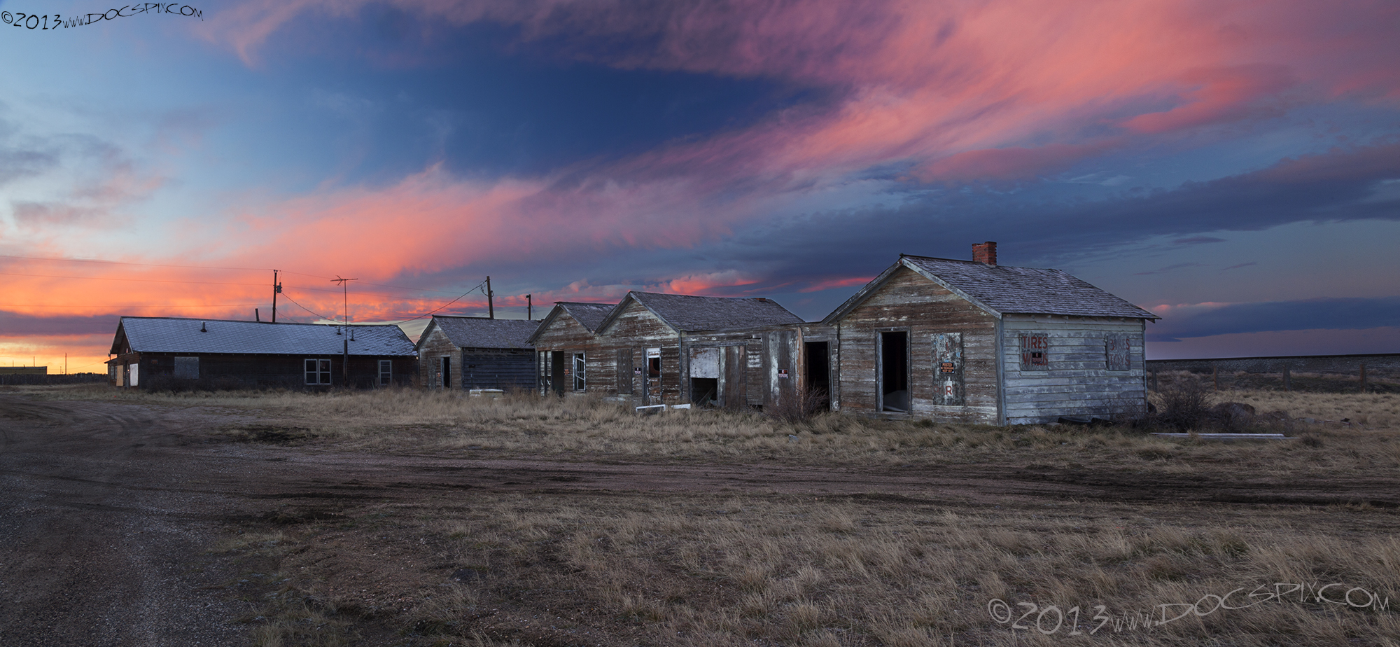
Rock River had several more garages, motels, and other places of business. The Midwest Refining Company almost placed a refinery here in 1919, six years after the Lincoln Highway was dedicated. Today, there is a convenience store where the proprietor will re-open after hours to meet the needs of a traveler or local resident.
The Lincoln Highway had plenty of roadside attractions, offering spectacular views of the west. This building was once a service station, it was abandoned when the highway was realigned in the 1930’s. It sits on private property, I was able to capture this view from the current U.S. 30 one morning.
Citations:
1: “The Complete Official Road Guide of the Lincoln Highway”, (published by The Lincoln Highway Association, National Headquarters, Detroit, Michigan – copyrighted 1915); Box 15, Folder Number 1, Payson W. Spaulding papers, 1886-1980, Collection Number 01803, American Heritage Center, University of Wyoming.
2: Multiple sources, including Book: Wyoming Place Names, Pg. 28, 2004 Ed. Mae Urbanek, Mountain Press Publishing Company, Missoula, MT.; Informational sheet, Box Number 438, Folder Number 27, James L. Ehernberger western railroad collection, 1862-2001, Collection Number 10674, American Heritage Center, University of Wyoming; and others.
3: http://quod.lib.umich.edu/l/linchigh/x-lhc1041/lhc1041. University of Michigan Library Digital Collections. Accessed: October 25, 2015.
4: Multiple sources: Book: William Tecumseh Sherman and the Settlement of the West, Pg. 201, Robert G. Athearn, University of Oklahoma Press, Norman, OK 1956; Cheyenne Daily Leader, 8Sept1880, Pg. 4, Col. 3.
5: Multiple sources, including Book: Wyoming Place Names, Pg. 28, 2004 Ed. Mae Urbanek, Mountain Press Publishing Company, Missoula, MT; Informational sheet, Box Number 438, Folder Number 20, James L. Ehernberger western railroad collection, 1862-2001, Collection Number 10674, American Heritage Center, University of Wyoming; and others.
6: Informational sheet, Box Number 443, Folder Number 5, James L. Ehernberger western railroad collection, 1862-2001, Collection Number 10674, American Heritage Center, University of Wyoming
7: Informational sheet, Box Number 439, Folder Number 20, James L. Ehernberger western railroad collection, 1862-2001, Collection Number 10674, American Heritage Center, University of Wyoming
8: Book: Wyoming Place Names, Pg. 92, 2004 Ed. Mae Urbanek, Mountain Press Publishing Company, Missoula, MT.
9: Informational sheet, Box Number 440, Folder Number 1, James L. Ehernberger western railroad collection, 1862-2001, Collection Number 10674, American Heritage Center, University of Wyoming
10: “View of Tie Siding – Black and white photograph of Tie Siding in the 1890’s.”
Original version: View of Tie Siding, University of Wyoming, American Heritage Center, Joseph E. Stimson Collection, Accession Number 1208, Box 1, Folder 1, Negative Number 5361
