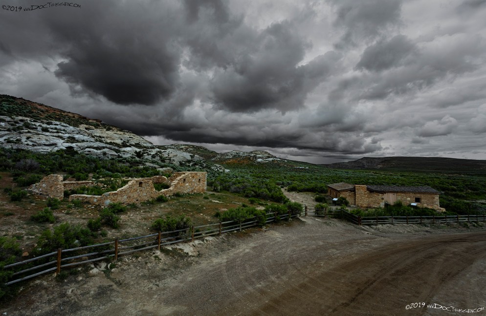
Creston Station
1915 LHA: New York: 2190 miles, San Francisco: 1194 miles Altitude: 7,043 feet. Sweetwater County. No tourist accommodations. R.R. station, telegraph. Drinking water, radiator water. (End LHA)(1)
“…railroad station so named because it is on the crest of the continental divide.” (2)
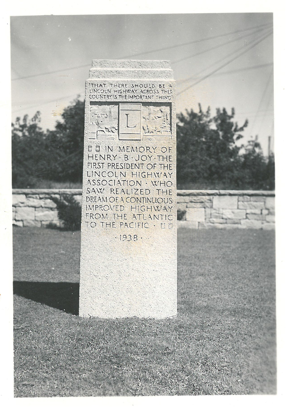
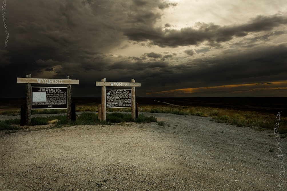
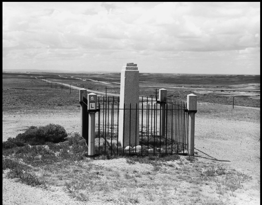
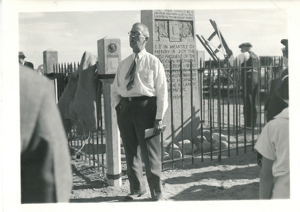
The story is told about how Henry Bourne Joy camped at this location on one of his many cross-country trips along the Lincoln Highway; he is said to have witnessed the most beautiful sunset of his life here. It was so beautiful that he said he wanted to buried here when he passed on. His family decided to bury him in the family plot in Detroit in 1936, and instead provided and placed a monument at this location. In 2001, it was moved to the Summit rest area at the base of the Lincoln Monument east of Laramie because of vandalism. The state placed the billboard on the right to mark the location.
Payson W. Spaulding was the first and only state consul for Wyoming; he advised Henry B. Joy about the path that the Lincoln Highway would take.
1915 LHA: New York:: 2194 miles; San Francisco: 1190 miles Sweetwater County. No tourist accommodations. R.R. station, telegraph. Drinking water, radiator water. (End LHA)(1)
“Once a stage station; now a railroad station; named for Dr. Latham, surgeon of the Union Pacific Railroad.”(5)
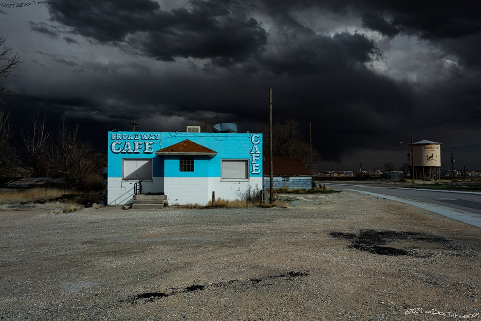
Wamsutter
1915 LHA: New York: 2202 miles; San Francisco: 1182 miles Population 125, Altitude 6,702 feet. Sweetwater County. One hotel: Wamsutter Hotel, Eu. One garage: storage, night, 50c. Gas 30c. Oil 75c. Route marked through town and county. Extensive road improvement planned for 1915. Good detour road without mileage increase over L.H. One R.R., 1 Exp. Co., 1 Tel. Co. Camp site.
This point was formerly called Washakie. Fort Washakie was a prominent military post on the Shoshone and Arapahoe Indian Reservation. (End LHA)(1)
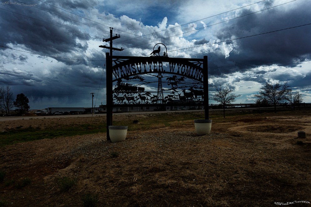
“The original name was Washakie; this caused much confusion because freight for Fort Washakie was often sent here; so the name was changed in 1884 or 1885 to Wamsutter, for a German bridge builder on the Union Pacific Railroad.”(6)
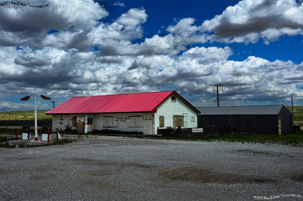
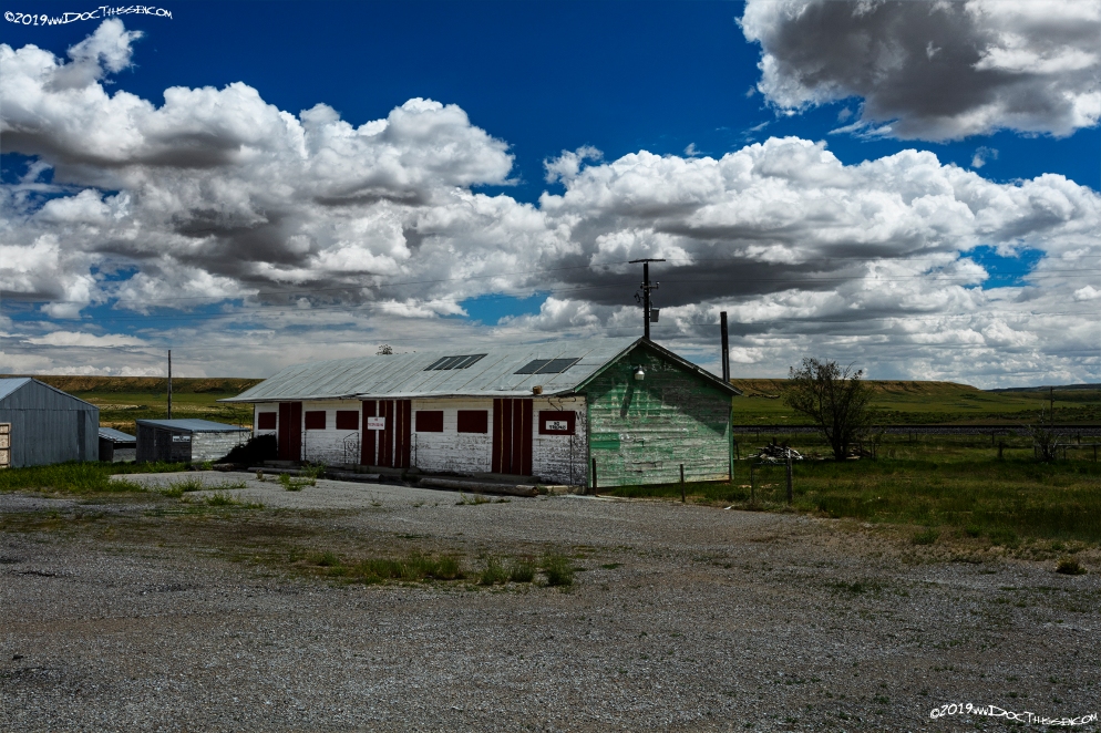
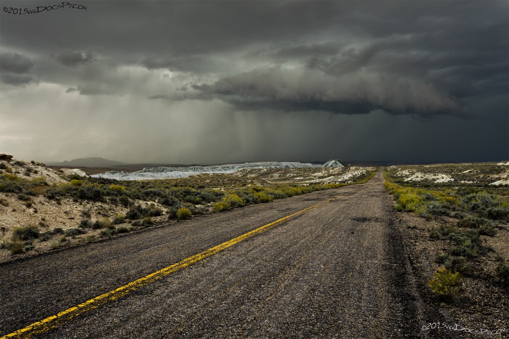
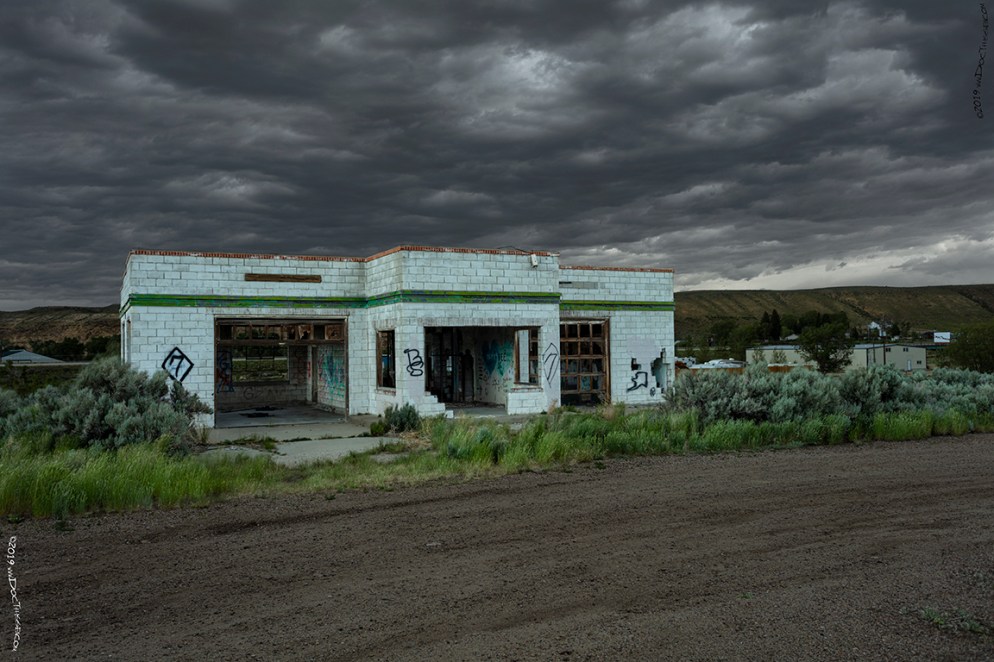
Red Desert
Red Desert wasn’t included in the original LHA guidebook, but some of the historical documentation indicates that this was a stop for travelers along every alignment of the Lincoln Highway. Like most of the towns along this route, Red Desert was a railway station complete with section house and telegraph.
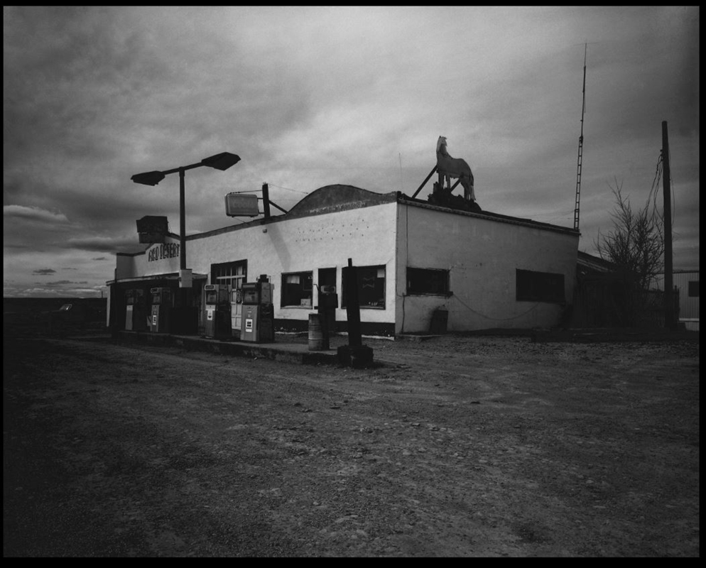
The Red Desert Gas Station, (above) was located on the north side of the Interstate. It was razed sometime in the mid-1970’s. The station and motel below provided friendly competition, and an opportunity for a comfortable respite.
“[Red Desert was] named for red soil; it contains the world’s largest body of shifting sand and desert land – about seven hundred square miles of arid land in a rough square. It is mostly public land managed by the Bureau of Land Management; there is also Union Pacific land given them by the government when the railroad was being constructed. It is good sheep pasture in the winter, as well as good wildlife habitat for antelope, elk and wild horses; the area contains important archeologic sites. More than 100 hundred varieties of plants grow on the Red Desert, which has many good finds for rockhounds.” (7)
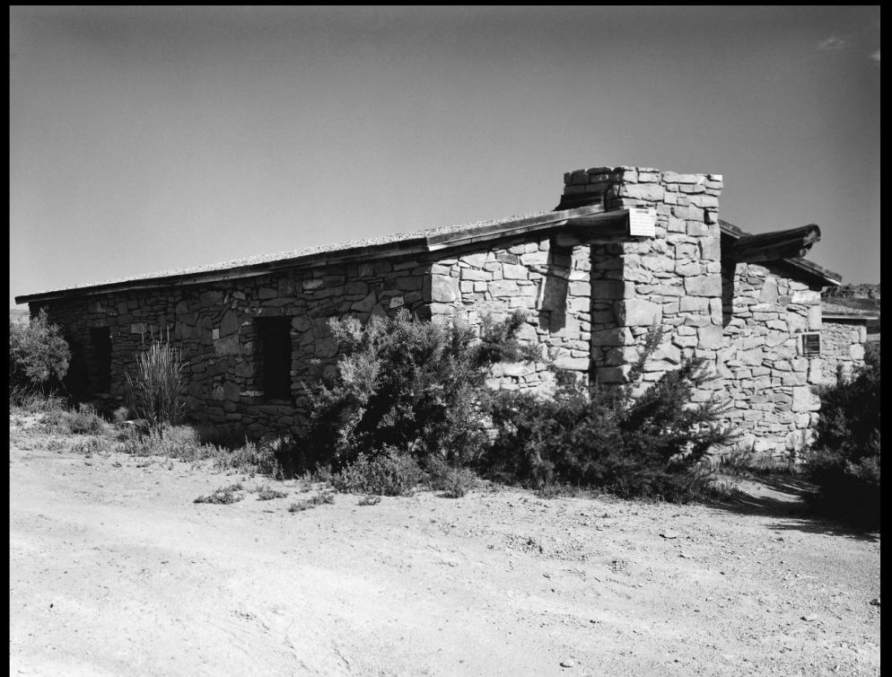
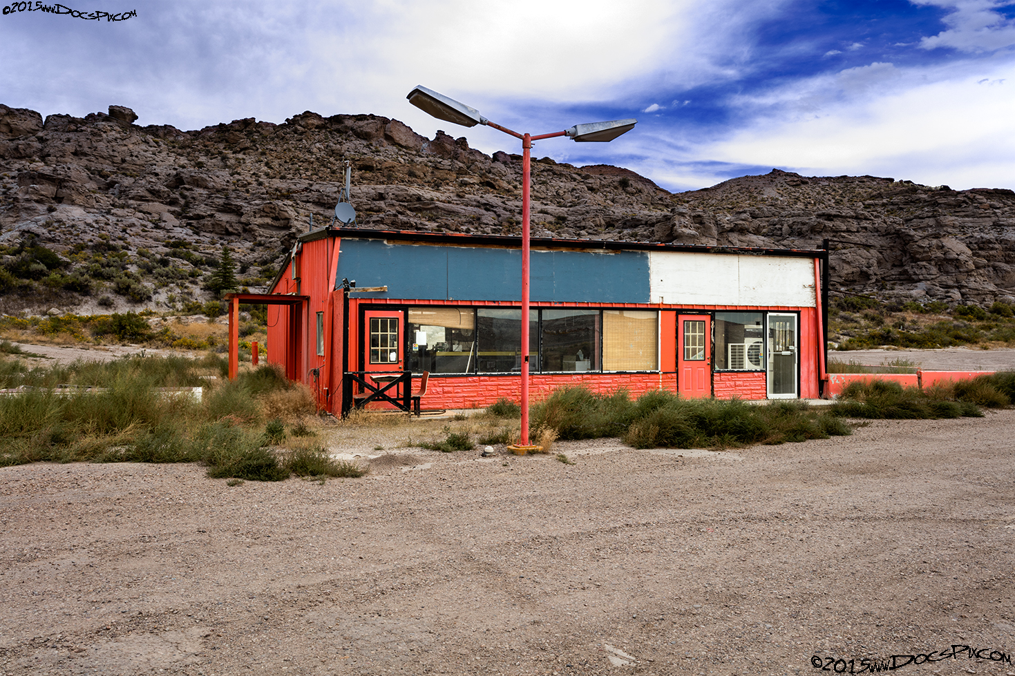
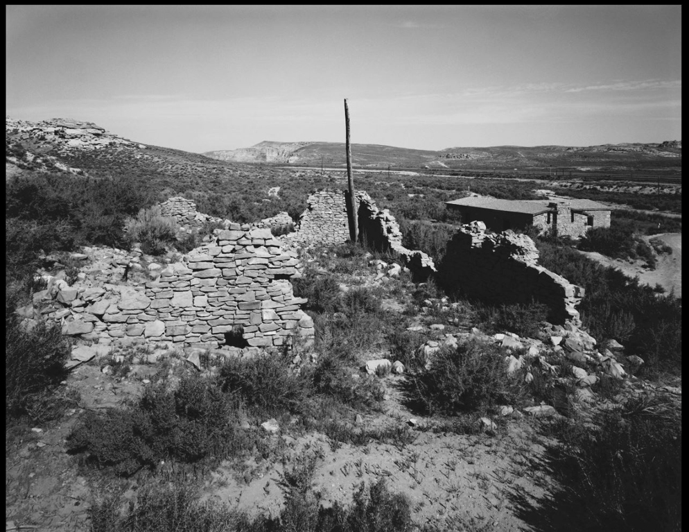
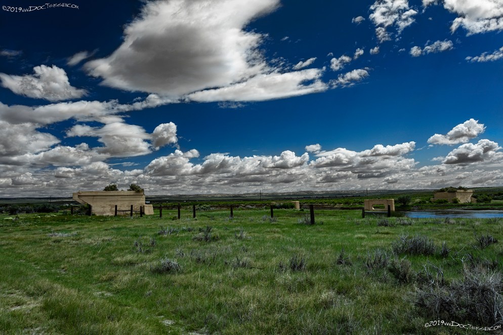
Table Rock
Table Rock, similar to Red Desert wasn’t included in the original LHA guidebook, there was a section house and telegraph located near the highway. Table Rock was the site of a flourishing company town starting in the late 1970’s, but shortly after the turn of the century, it began to disappear. All that remains today is the dilapidated remnants of a gas station, and trailer-home.
“[Table Rock was once a] railroad station. Table Rock is also known as “Pulpit Rock”; this is where Brigham Young delivered a sermon to Mormons on the way to Utah in 1847. Nearby are Diamond Mesa and Ruby Gulch, which were “salted” in 1876 with precious stones by two prospectors. They took interested persons, blindfolded, to see the great discovery and fleeced such men as Horace Greeley, the Rothchilds, and Tiffany out of more than $500,000 for mine promotion, before a cook picked up, from an ant hill, a diamond that showed marks of a lapidary’s tool. Rubies and diamonds were planted in ant hills, as well as garnets, sapphires, emeralds, and amethysts; it is impossible to find all of these gems in one locale, under natural conditions. (8)
Point of Rocks
1915 LHA: New York: 2237 miles, San Francisco: 1147 miles Population 50, Altitude 6,512 feet. Sweetwater County. One hotel; Rador Hotel, $1.50, Amer. Gas, 30c One R.R., 1 Exp Co., 1 Tel Co. Camp site.
There are many mineral springs in this vicinity – iron, sulphur[sic], magnesia, and soda. Extensive coal mines are located near this point, from which many carloads are shipped daily. On the bluffs near Point of Rocks, just above a coal vein. Professor Hayden says,”is a seam of oyster shells six inches in thickness, which is an extinct and undescribed[sic] species about the size of our common edible one.” The sandstone bluffs at points along the road are worn by the action of the elements into curious fantastic shapes, some of which have been named “Cave of the Sand,” “Hermit’s Grotto,” “Water-washed Caves of the Fairies,” “Sancho’s Bower,” etc. (End LHA)(1)
POINT OF ROCKS TO ROCK SPRINGS
Roads are much the same general character as east of Point of Rocks. (End LHA)(1)
“…It was once the old Almond Stage Station, famous in the time of the Pony Express; it was named for a sandstone ridge jutting out over Bitter Creek. Once this was the closest Union Pacific railroad station to South Pass City; stages ran there daily; now only stone ruins are left. “(9)
Thayer Junction
1915 LHA: New York: 2245, San Francisco: 1139 Population 20. Railroad station. Sweetwater County. No tourist accommodations. 1 small store, 1 Exp. Co., 1 Tel. Co. Drinking and radiator water. (End LHA)(1)
“Junction from [the]main line[sic] of the Union Pacific railroad to Superior; it was named for Thayer, a pioneer living here.” (10)
1915 LHA: From GREEN RIVER to LYMAN the roads vary from well graveled to clay.
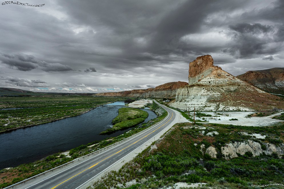
The palisades along the Green River were a favorite subject of Thomas Moran, (American painter, 1837-1926). The last second and final alignment of the Lincoln Highway divides the river from the palisades.
Opened in 1950, this Sinclair service station is located on the final alignment of U.S. 30, just west of the palisades.
Bryan Station
1915 LHA: New York: 2294 miles, San Francisco: 1090 miles Altitude 6,284 feet. Sweetwater County. No tourist accommodations. R.R. station, telegraph. Drinking water, radiator water. (End LHA)(1)
“At first a stage stop; in 1868 a railroad center with roundhouse; vast supplies for South Pass were shipped from here during [the] gold boom; men died in Bryan with their boots on in fierce fights in the days of its fleeting glory; named for Lt. Francis Theodore Bryan, surveyor.”(11)
Granger
1915 LHA: New York: 2313 miles, San Francisco: 1071 miles Population 100. Altitude 6,284 feet. Sweetwater County. Two hotels, accommodations for 50. College Inn; Bagley. Gas, 25c. Route marker through town and county. Two R.R’s, 2 general business places, 1 Exp. Co., 1 Tel. Co., 1 public school. Camp site.
The Road leading north and west, open to tourists, via Pocatello, is reported to be the most desirable route for motorists contemplating a visit to Yellowstone National Park. First-hand information as to this route indicates that the road via Pocatello leads directly to an official entrance at which will be found all tourist conveniences. It is also said that from this point the road to Glacier, Montana is the best.
It is suggested that tourists contemplating a trip to Glacier National Park communicate with the President of the Commercial Club of Darby, Montana, who will furnish maps and other information of value.
At this point the tourist is offered a detour via what is known as the “Oregon trail” to Pocatello, Boise, Idaho; Walla Walla, Wash.; Portland, Oregon; Tacoma and Seattle, Wash. and Vancouver, Canada. (End LHA)(1)

“First this was a stage stop garrisoned by Col. Connor to protect passengers from Indians; it was named for Gen. Gordon Granger; it was also a Pony Express station. In 1868 it became a UP railroad camp; in the 1880’s it was an important railroad junction with the Oregon Short Line – three boxcars on a siding provided the depot and waiting rooms. Ties were floated down Ham’s Fork to Granger. It was on the main travel route west, from the days of Elijah White’s wagon train of 1842, until U.S. Highway 30 was moved farther south, and Little America became Granger’s rival; now it is left, quiet, on the sagebrush prairies.”(12)
Citations:
1: “The Complete Official Road Guide of the Lincoln Highway”, (published by The Lincoln Highway Association, National Headquarters, Detroit, Michigan – copyrighted 1915), Box 98, Folder Number 1, Payson W. Spaulding papers, 1886-1980, Collection Number 01803, American Heritage Center, University of Wyoming.
2: Book: Wyoming Place Names, Pg. 46, 2004 Ed. Mae Urbanek, Mountain Press Publishing Company, Missoula, MT.
3: Box 96, Folder Number 5, Payson W. Spaulding papers, 1886-1980, Collection Number 01803, American Heritage Center, University of Wyoming.
4: Box 96, Folder Number 6, Payson W. Spaulding papers, 1886-1980, Collection Number 01803, American Heritage Center, University of Wyoming.
5: Book: Wyoming Place Names, Pg. 120, 2004 Ed. Mae Urbanek, Mountain Press Publishing Company, Missoula, MT.
6: Book: Wyoming Place Names, Pg. 216, 2004 Ed. Mae Urbanek, Mountain Press Publishing Company, Missoula, MT.
7: Book: Wyoming Place Names, Pg. 165, 2004 Ed. Mae Urbanek, Mountain Press Publishing Company, Missoula, MT.
8: Book: Wyoming Place Names, Pg. 200, 2004 Ed. Mae Urbanek, Mountain Press Publishing Company, Missoula, MT.
9: Book: Wyoming Place Names, Pg. 158, 2004 Ed. Mae Urbanek, Mountain Press Publishing Company, Missoula, MT.
10: Book: Wyoming Place Names, Pg. 204, 2004 Ed. Mae Urbanek, Mountain Press Publishing Company, Missoula, MT.
11: Book: Wyoming Place Names, Pg. 26, 2004 Ed. Mae Urbanek, Mountain Press Publishing Company, Missoula, MT.
12: Book: Wyoming Place Names, Pg. 85, 2004 Ed. Mae Urbanek, Mountain Press Publishing Company, Missoula, MT.
