Como Bluff
“The Fossil Cabin” was built on the Albany/Carbon County line in 1932 by Thomas Boylan and his son, they built the cabin using 5,796 dinosaur bones found in the nearby Como Bluff; one of the largest fossil beds in the world. The cabin was built adjacent to the Boylan’s home that they built in 1930. This was a roadside attraction intended to entice motorists into stopping, buying fuel, and other sundries. It was promoted by Ripley’s Believe or Not! In 1938 as “The World’s Oldest Cabin”. Thomas Boylan died in 1947, his widow Grayce continued to operate the cabin and gas station until she sold the property in 1974. (1)


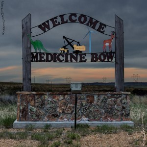
Medicine Bow
“In this location, the Indians came great distances to obtain the unusually straight timber of that part of the region from which to fashion their bows and arrows. It was considered “good medicine” to use that timber for the making of their weapons – “good medicine bows.”(2)
1915 LHA: New York: 2099 miles San Francisco: 1285 miles
Pop. 150. Alt. 6,566 feet. Carbon County. Two hotels, accommodations for 100. Virginian. $1.00 up, Eu.; O’Connor, $1.50, Amer. One garage; storage, 50c; washing, $1.50; Gas, 25c; Oil, 75c. Route marked through town and county; signs at approach of town. One R.R. crossing at grade, not protected. One bank, 1 R.R. 1 Exp. Co., 1 Tel. Co., 1 public school, 20 automobiles owned. Camp site[sic]; good trout fishing.
The Virginian Hotel takes its name from Owen Wister’s novel of that name, the manuscript having been written here. (End LHA) (3)


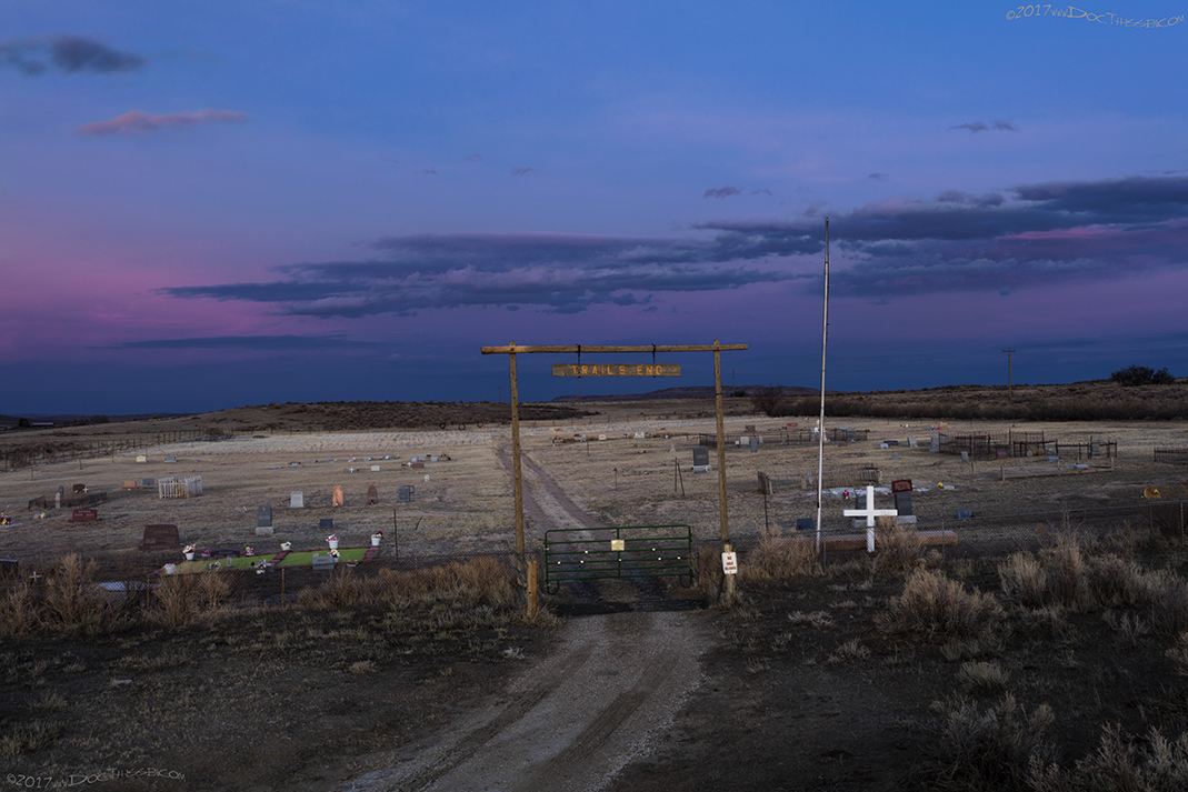


1915 LHA: From MEDICINE BOW to RAWLINS the tourist encounters graded dirt roads; some dirt and gravel mixed. (End LHA) (3)
Allen Station
Railroad station named for William Allen, engineer.(5)
1915 LHA: New York: 2104 miles San Francisco: 1280 miles
Carbon County. No tourist accommodations. R.R. station, telegraph. Drinking water, radiator water. Camp site. (End LHA) (3)
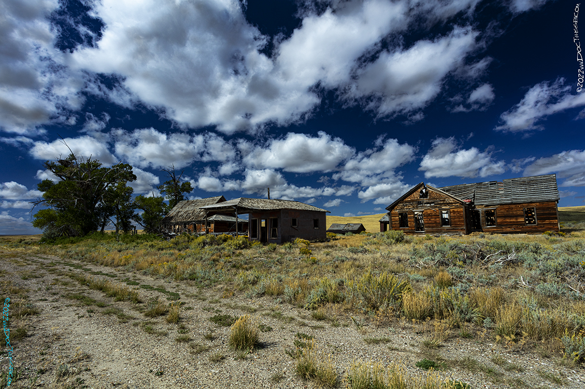
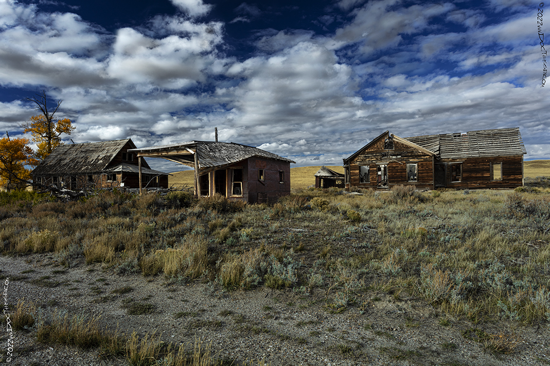
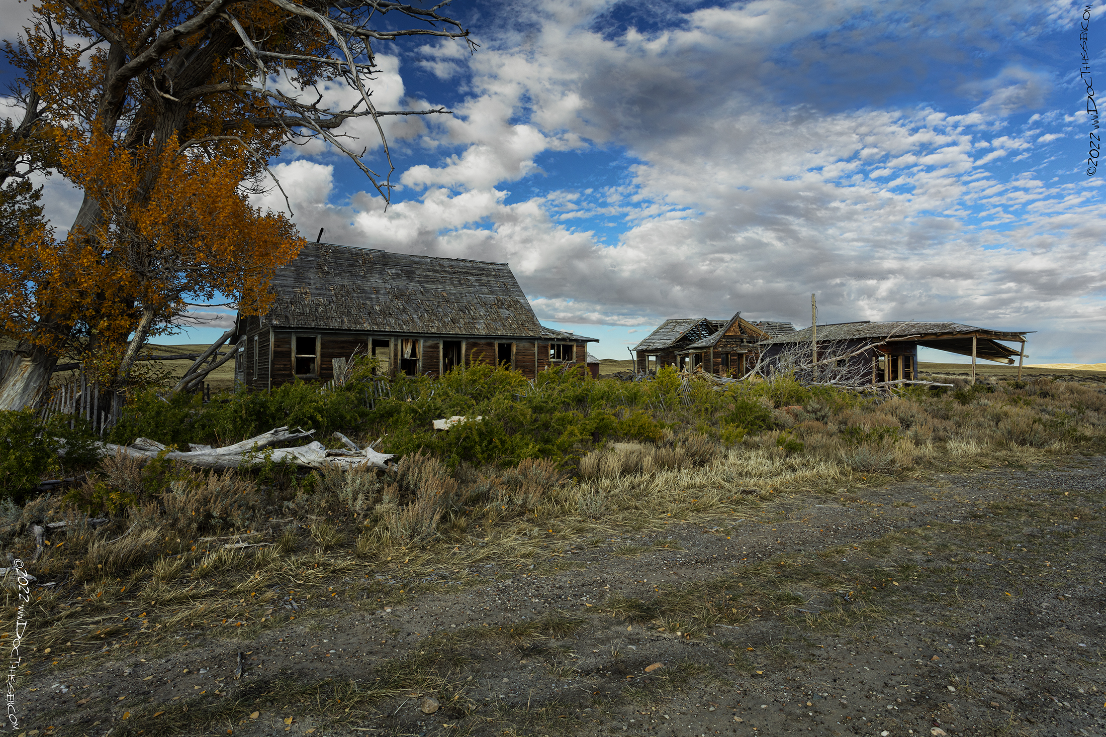
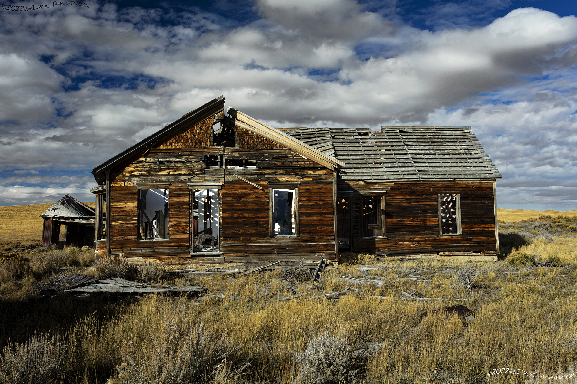
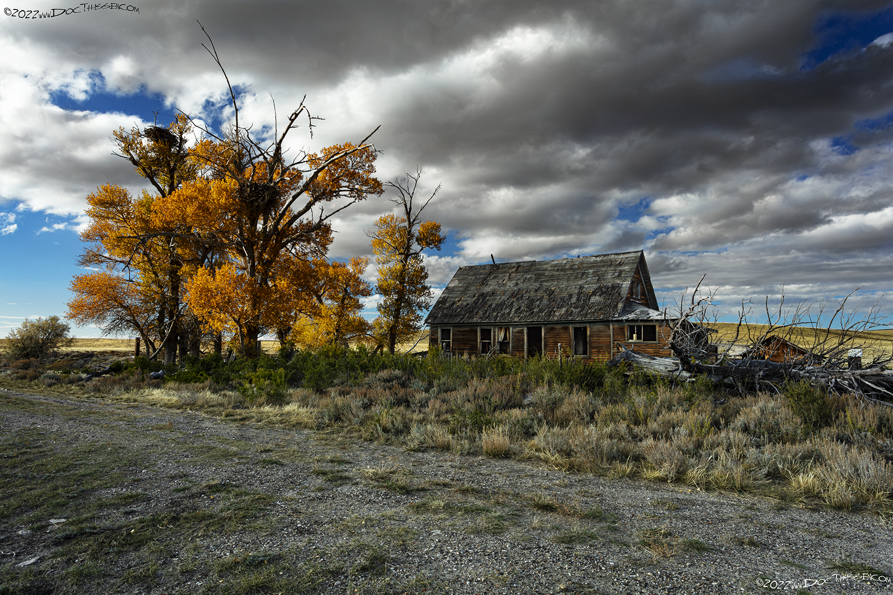
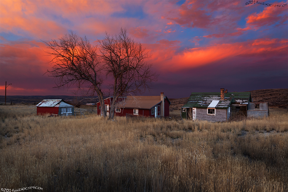
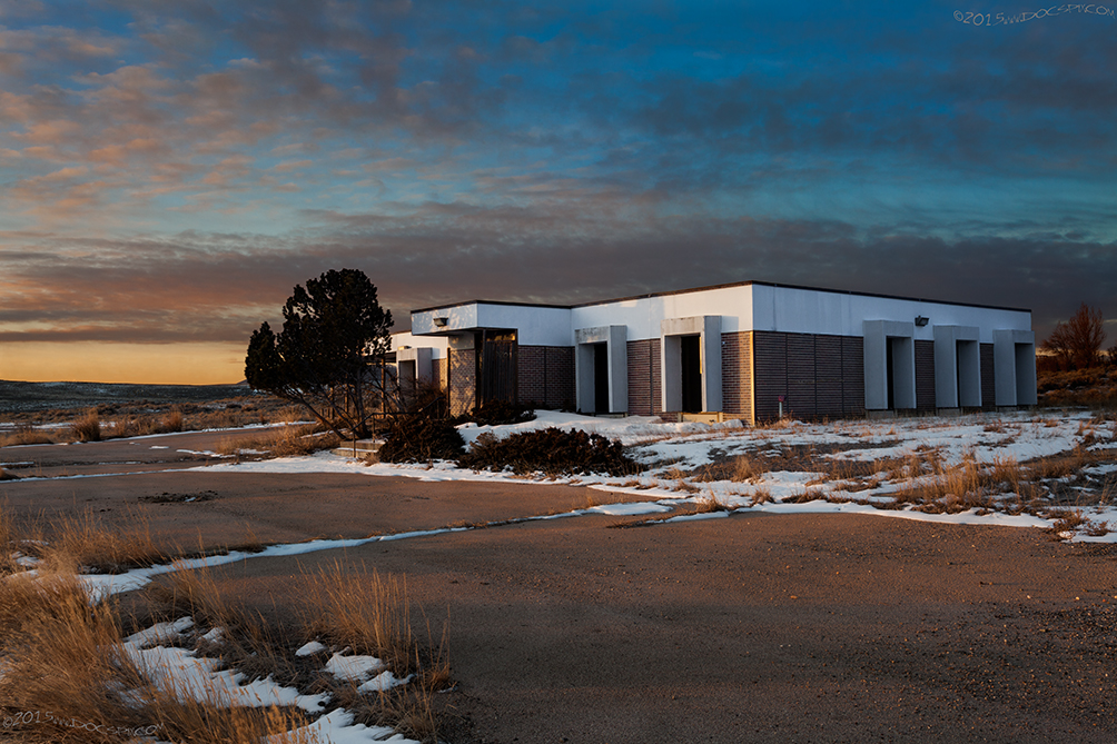
The following images were made somewhere in Carbon County, on private property with the permission of the landowners. Please do not ask either the exact location or for the property owners name.


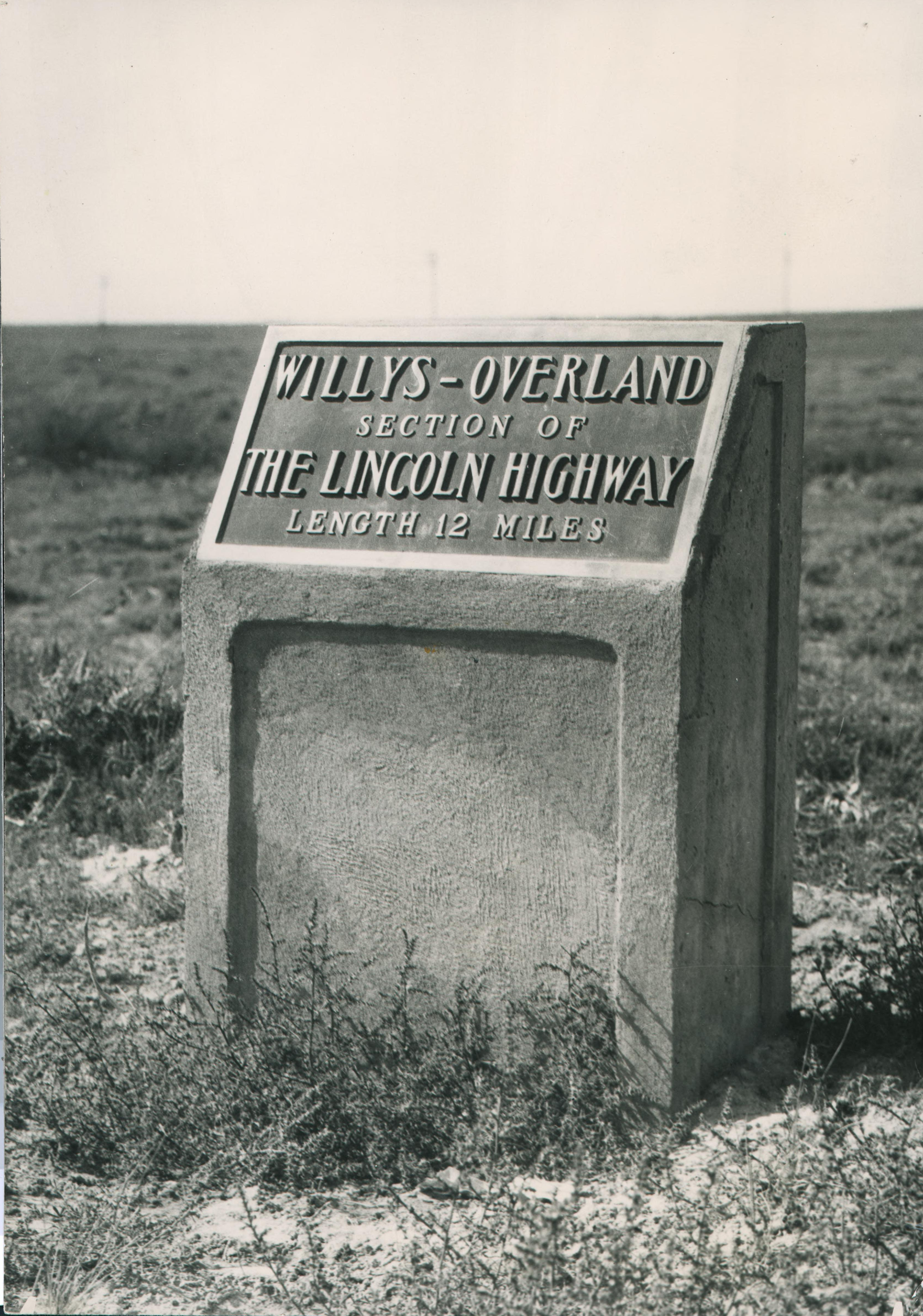
“A common sight along the Lincoln Highway in Wyoming.” http://quod.lib.umich.edu/l/linchigh/x-lhc1239/lhc1239. University of Michigan Library Digital Collections. Accessed: October 27, 2015.
While this isn’t the same monument as the historical photograph from around 1928, the monument below stands as a testament to the permanence of concrete; which has outlasted not only the company’s namesake, but the Lincoln Highway and its many realignments.

Elk Mountain
The town of Elk Mountain played an important part in the routing of the Lincoln Highway. The townspeople were so convinced the highway would be routed through their burg, they actually renamed Bridge Street to Lincoln Highway in early 1914. The first edition of the guidebook states that if a motorist is looking for a more scenic route from Laramie to Rawlins, they can go via the Elk Mountain road. Depending on the source, there were between 18 and 27 gates which had to opened and closed along the route.
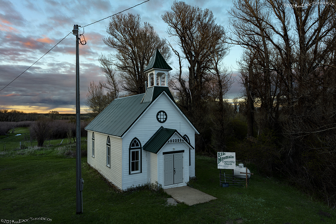
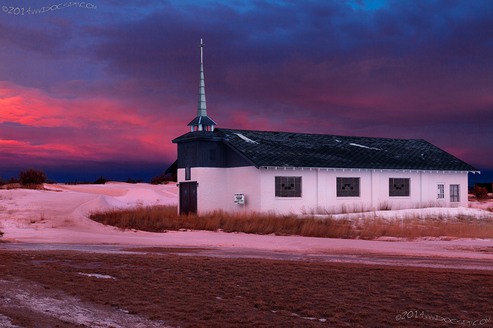
According to the county GIS system, the Elk Mountain Community Church was built in 1905. Services are still held every Sunday at 6:00 PM.
Carbon
The town of Carbon came into existence because of large deposits of coal that were found in the area. By 1899, the seventh mine that was opened two miles south of the town had finally given out. This and a fire that all but destroyed the town, it was abandoned in around 1902. All that remains are some foundations and the town’s cemetery.
1915 LHA: New York: 2110 miles San Francisco: 1274 miles
Pop. 117. Alt 6,825 feet. Carbon County. Meals, lodging, drinking water, radiator water. Camp site. (End LHA) (3)
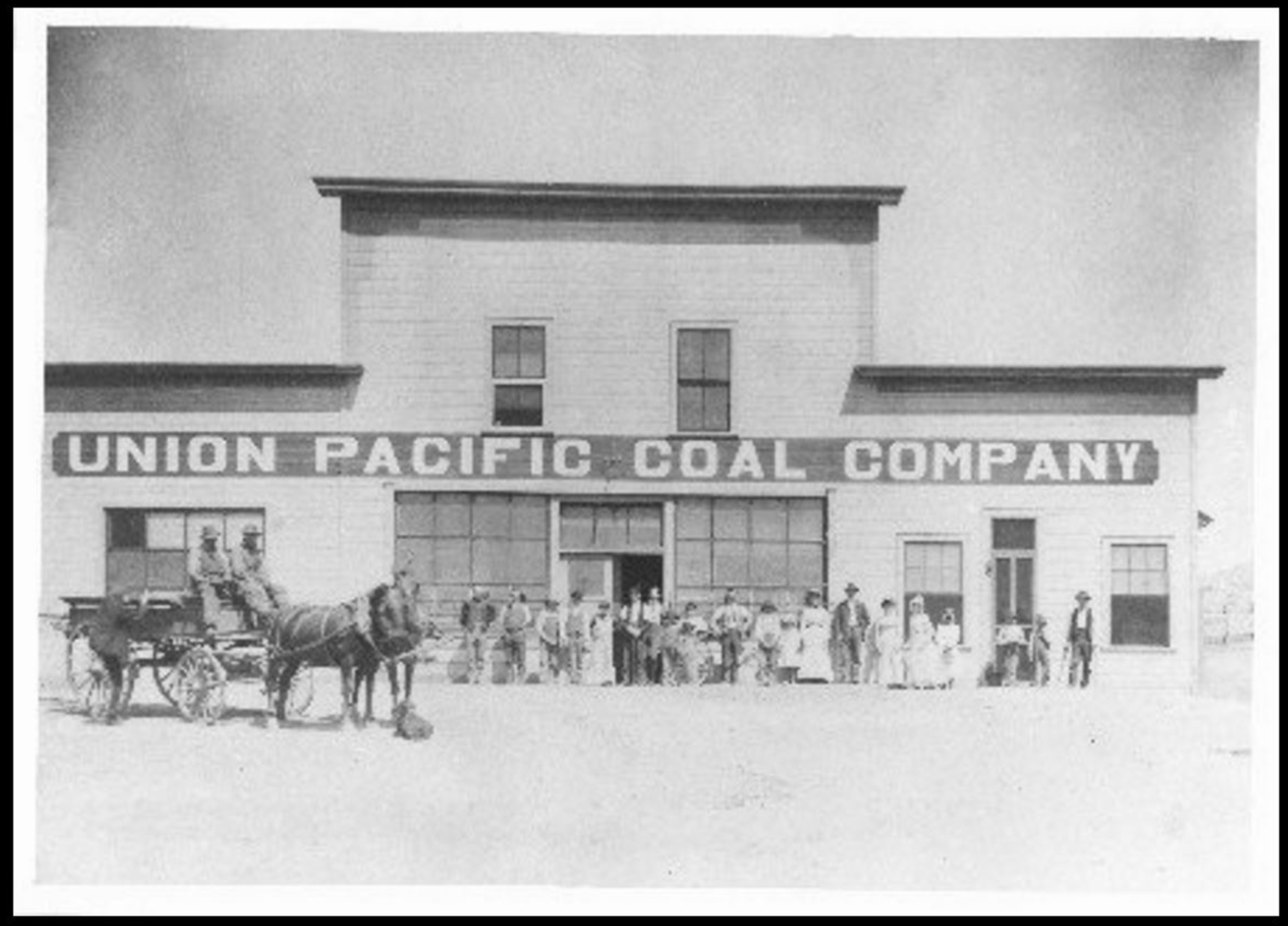

Hanna/Elmo
The town of Hanna was founded in 1889 named for businessman Mark A. Hanna. Aside from being a coal and shipping magnate, this former U.S. Senator from Cleveland, Ohio convinced officials of the Union Pacific that they should invest in the development of its own coal fields. Hanna was a company town, through and through. As such, the town was essentially vice-free.
1915 LHA: New York: 2121 miles San Francisco: 1263 miles
Pop. 2000. Alt. 6,769 ft. Carbon County. One hotel, 20 rooms. Hotel Hanna, $1.50-$2.00, Amer. Gas, 25c, Oil, 75c, Route marked through town and county. One R.R. crossing at grade, not protected. One R.R., 7 general business places, 1 Exp. Co., 1 Tel. Co., 1 public school, electric lights. Camp site. Extensive coal deposits in the neighborhood. (End LHA) (3)
Elmo was a Finnish village that was incorporated in 1917 about a mile east of Hanna; out of the reach of the company regulations. Bars and brothels flourished.
There was a pair of tragedies that struck the town; the first was in 1903 when an explosion in the No. 1 mine took the lives of 159 miners. The second came in 1908 when 59 miners lost their lives in the same mine.

Walcott
The town of Walcott was named for a conductor that was on the Union Pacific trains between Cheyenne and Green River. The Saratoga & Encampment Valley Railroad terminated here; “During the copper mining development in the 1890’s and early 1900’s, more freight was handled at Walcott than any other Union Pacific station between Omaha and Ogden, Utah; mine and smelter machinery, coal, coke, and building materials came in; copper ore and smelter products went out.” (6)
1915 LHA: New York: 2143 miles San Francisco: 1244 miles
Pop. 150. Alt. 6,618 ft. Carbon County. One hotel, accommodations for 125. Hotel Walcott, $2.00 up, Amer. Gas, 30c; Oil, 75c. Route marked through county. Two R.R’s, 1 Exp. Co., 1 Tel. Co., 1 public school, 2 automobiles owned. Camp site. (End LHA) (3)
The Saratoga & Encampment Valley railroad ceased operations in late 1955.
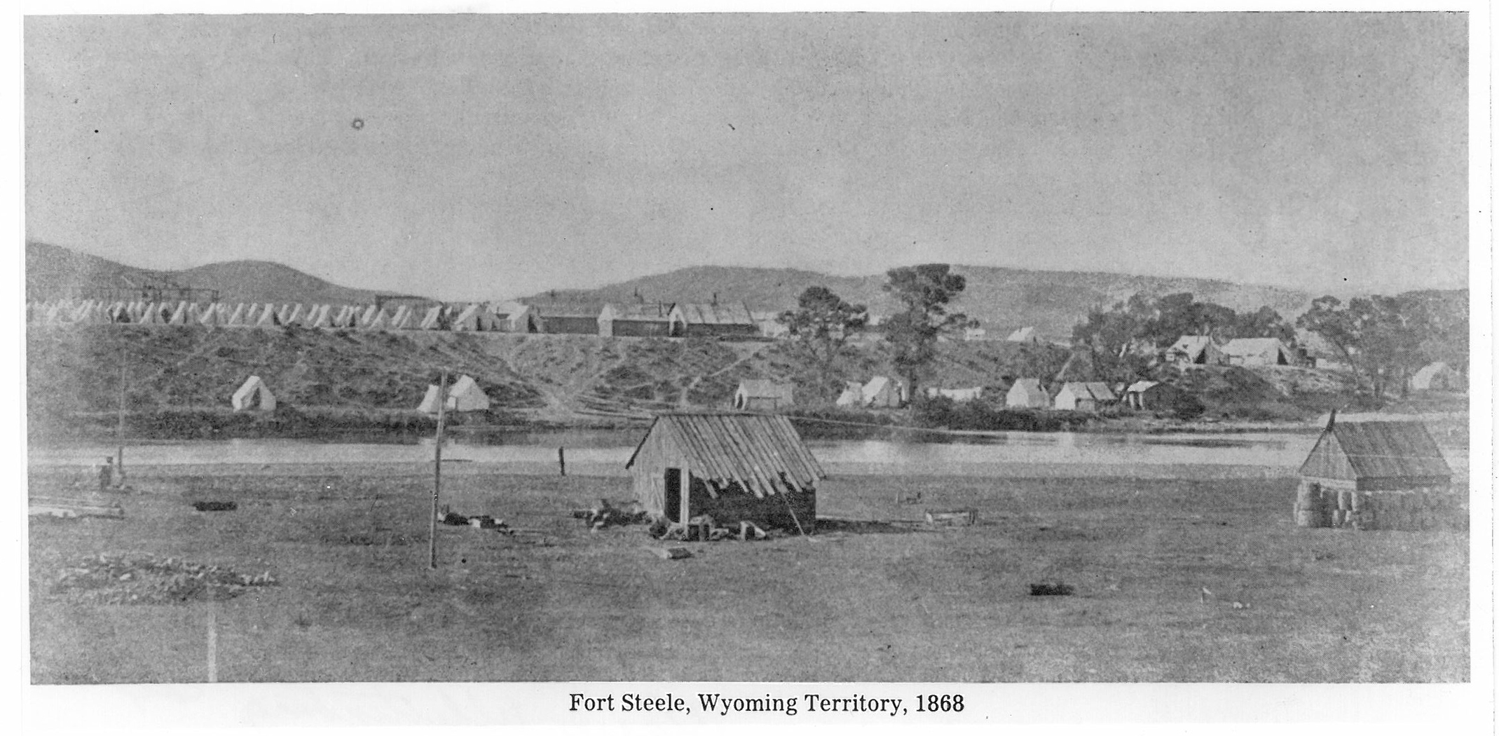
Ft. Frederick Steele
“Fort Fred Steele, new U.P. crossing of North Platte River. Established by Richard I. Dodge in 1868 as a protection to the builders of the railroad, Major General Frederick Steele of Civil War fame.” (7)
1915 LHA: New York: 2143 miles San Francisco: 1241 miles
Pop. 200. Alt. 6,510 feet. Carbon County. One hotel: Ft. Steele Hotel, $1.50-$2.00. Gas, 25c; Oil, 75c. Route marked through town and county. One R.R. crossing at grade, not protected. One. R.R., 4 general business places, 1 Exp. Co., 1 Tel. Co., 1 public school, electric lights, 5 automobiles owned. Camp site. Good trout fishing.
Near this point are the Saratoga Hot Springs, a favorite resort for invalids, the waters being heavily charged with medicinal properties. Fort Steele was established on June 30, 1868, by Colonel R.I. Dodge, of the Thirteenth U.S. Infantry, and it afforded a good strategic point, as well as a convenient base of supplies, in the wars with the Indians. This post was abandoned in 1886, only an agent being left to protect the Government property. (End LHA) (3)
The Lincoln Highway would adopt a local wagon road about a mile and a half south of Fort Fred Steele; using a truss bridge to cross the North Platte River. There was a small community located at the former fort until around the time of WWII. One story from the Denver Post in 1971 reported that the writer and his family had purchased the officers quarters in 1956; restoring the building so as to be made habitable. He sold the property two years later; only to learn that it was destroyed by fire in April of 1970. (8)
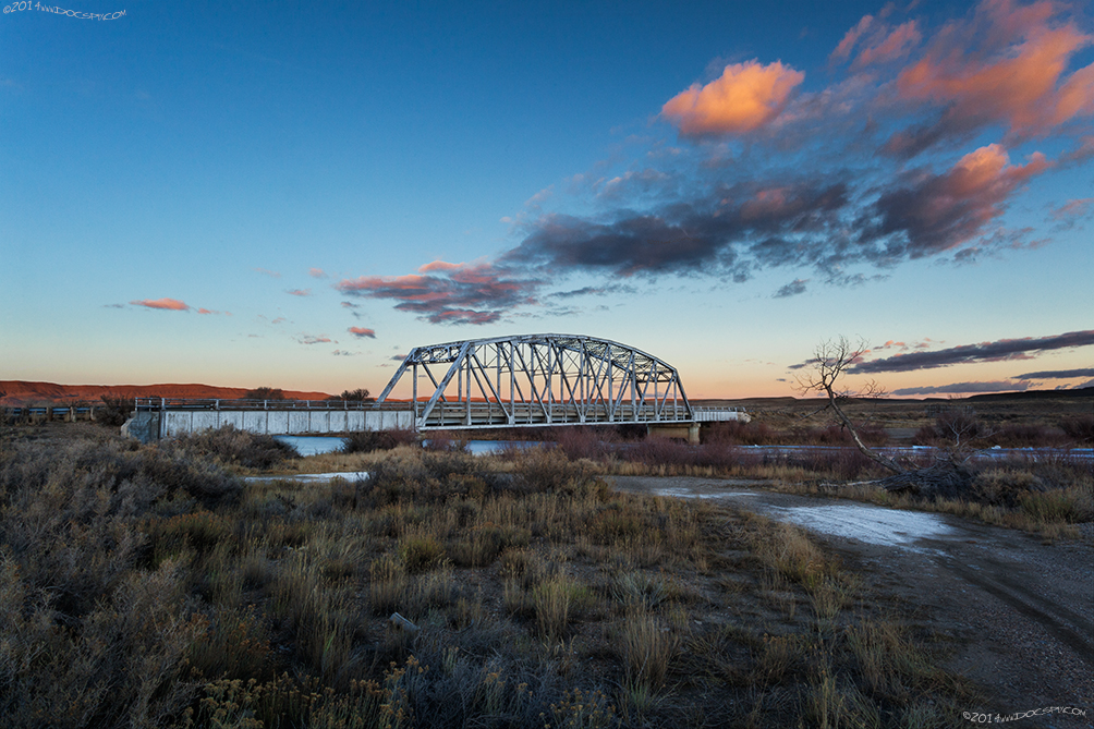
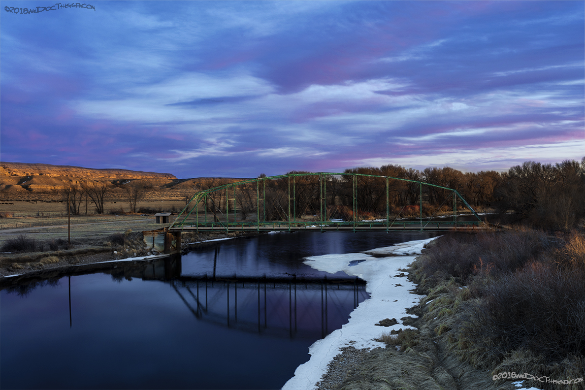
Today, Ft. Fred Steele is owned and operated by the State of Wyoming Parks Department. It’s open for self-guided tours from May 1st through November 15th. There is a rest area for travelers on Interstate 80 and a section of the L.H. with a truss bridge over the North Platte River that was placed there in 1922.

Not all businesses thrived along Interstate 80. “Old Fort Steele” was a gas and service station which probably went out of business around the same time as the Ft. Steele campground.
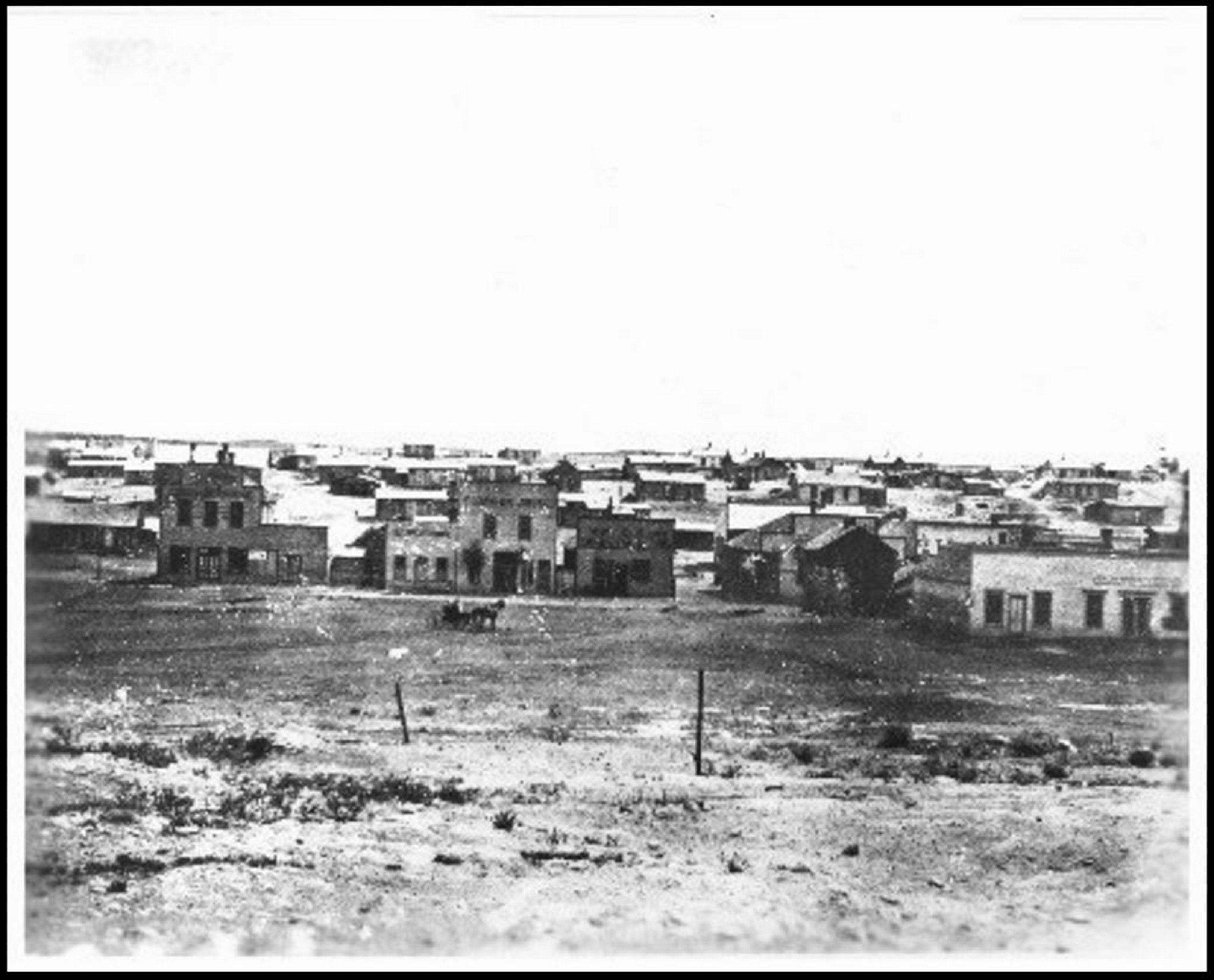
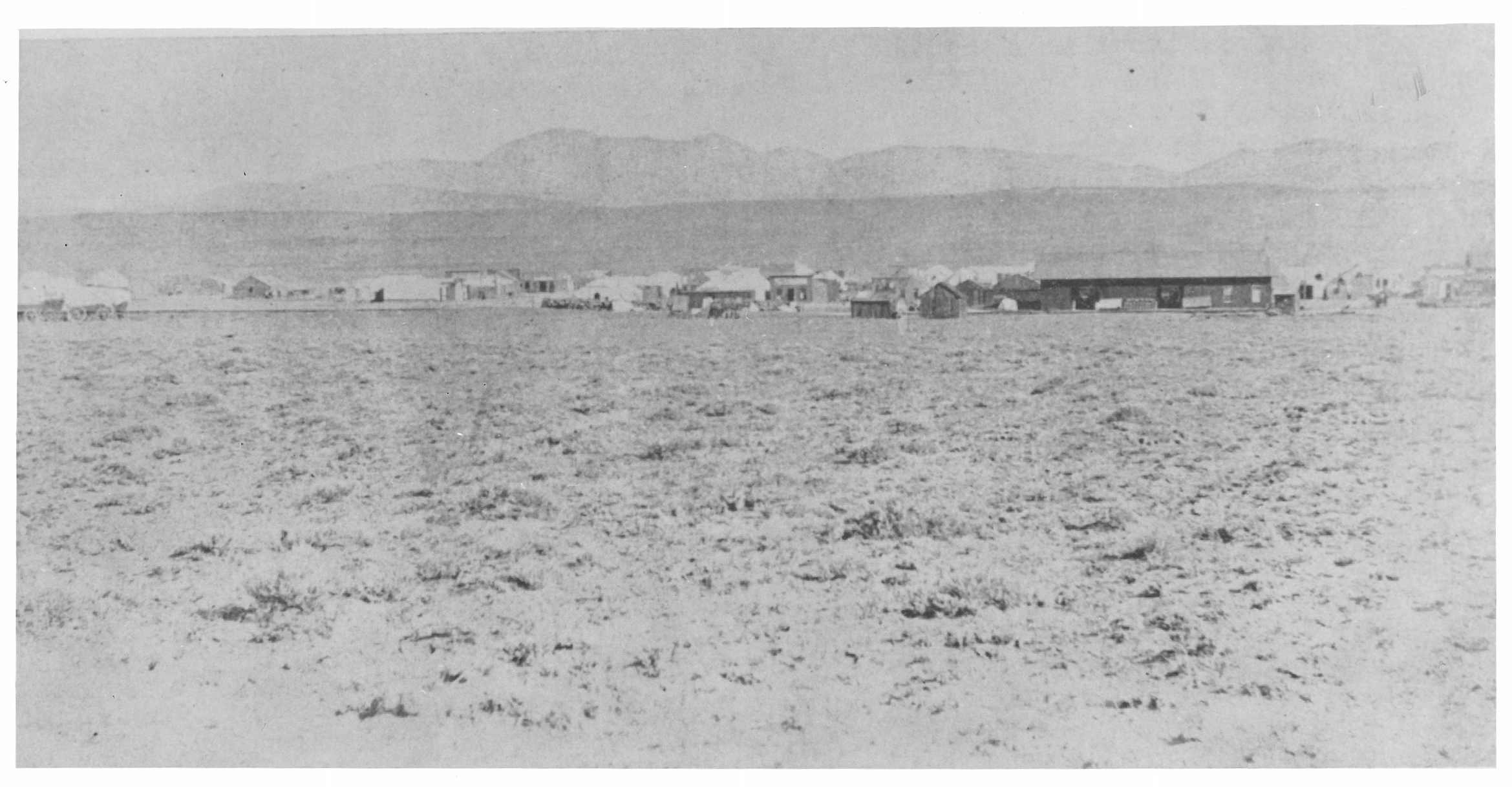
Lakota, (Benton)
“…Named for Thomas Hart Benton, western promoter, once a station on Overland stage route; for a few months in 1868 an end-of-the-track town, with dusty streets echoing the curses of men seeking solace from hard labor, bawdy laughter of women after easy money, and too often the sharp crack of a gun ending a dispute. Brawling Benton grew in a day, and vanished in a night when carted away to Rawlins.”(9)
1915 LHA: New York: 2150 miles San Francisco: 1234 miles
No tourist accommodations. Railroad Section House. Drinking water, radiator water. (End LHA) (3)

This was truly one of the original “hell on wheels” towns that dotted the landscape during the time of the construction of the transcontinental railroad. It was in existence for only three months from July to September of 1868. This town had a population of almost 3,000; and reportedly, over one hundred people died in gunfights here.
Today, there is nothing that remains to indicate anything was here. The plat had no date, but the file it came from stated that it might have been as recent as 1945, from the information found on the plat itself, (two different roads: one labeled; “main auto road”, the other; “Lincoln Highway”, would suggest this is probably accurate.
Granville (Parco/Sinclair)
Granville was “Probably named for Gen Grenville Dodge.” (10)
1915 LHA: New York: 2154 miles San Francisco: 1231 miles
Railroad pumping house. Drinking water, radiator water. (End LHA) (3)

Mae Urbanek lists Grenville as “A railroad station named for Gen. Grenville Dodge, surveyor for the UP railroad; later named Parco. (12)
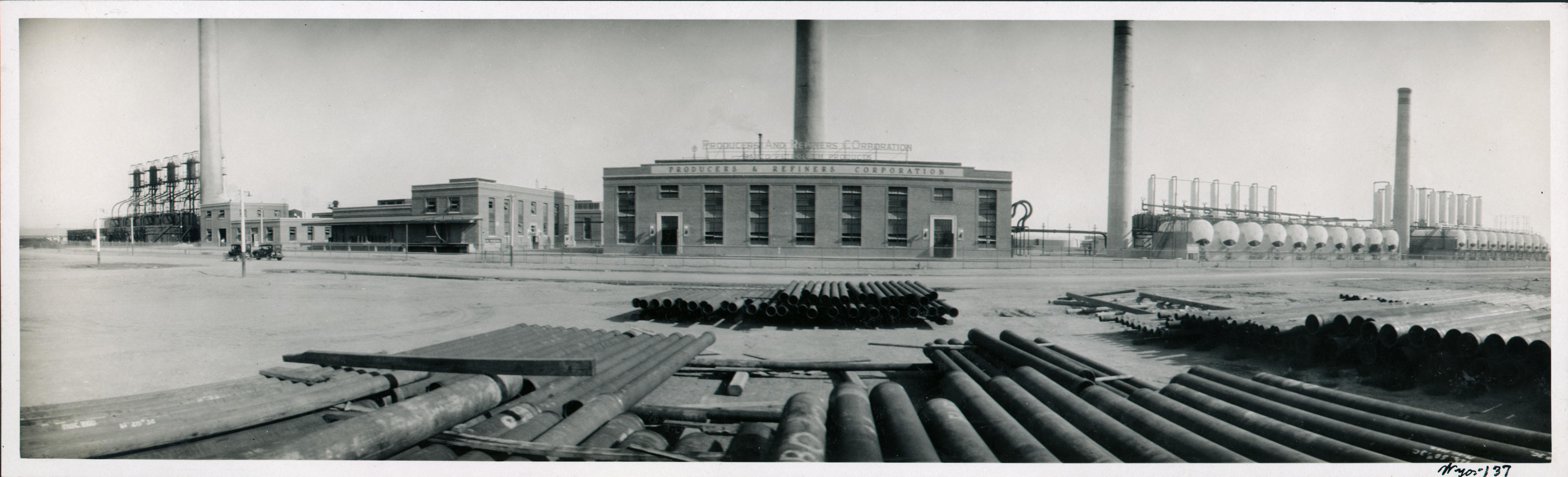
This location would become known as Parco, for the Producers and Refiners Oil Company on April 11th, 1923. It would be renamed as of July 1st, 1943 as Sinclair, in honor of the founder of the Sinclair Oil Company, Harry Sinclair.
The Sinclair Oil Company has a refinery here, “The West’s Most Modern Refinery”, is how it’s advertised. This town had a resort-hotel that was designed by Denver architects William and Arthur Fisher.

1915LHA: “From RAWLINS to POINT OF ROCKS the tourist encounters some roads which in fair weather are really excellent, but cause trouble in wet weather.” (3)
Citations:
1: The Builder of the “World’s Oldest Cabin” http://www.uwyo.edu/robertshistory/worlds_oldest_cabin_fossil.htm website, accessed 7Mar2015.
2: Informational sheet, Box Number 442, Folder Number 10, James L. Ehernberger western railroad collection, 1862-2001, Collection Number 10674, American Heritage Center, University of Wyoming.
3: “The Complete Official Road Guide of the Lincoln Highway”, (published by The Lincoln Highway Association, National Headquarters, Detroit, Michigan – copyrighted 1915), Box 98, Folder Number 1, Payson W. Spaulding papers, 1886-1980, Collection Number 01803, American Heritage Center, University of Wyoming.
4: http://quod.lib.umich.edu/l/linchigh/x-lhc1048/lhc1048. University of Michigan Library Digital Collections. Accessed: October 25, 2015.
5: Book: Wyoming Place Names, Pg. 3, 2004 Ed. Mae Urbanek, Mountain Press Publishing Company, Missoula, MT
6: Book: Wyoming Place Names, Pg. 215, 2004 Ed. Mae Urbanek, Mountain Press Publishing Company, Missoula, MT
7: Informational sheet, Box Number 440, Folder Number 20, James L. Ehernberger western railroad collection, 1862-2001, Collection Number 10674, American Heritage Center, University of Wyoming.
8: Brundy, Clyde M. “Our Love Affair with Ft.Steele”, Denver Post Empire magazine, September 5th, 1971, pp. 10-12.
9: Book: Wyoming Place Names, Pg. 15, 2004 Ed. Mae Urbanek, Mountain Press Publishing Company, Missoula, MT
10: Informational sheet, Box Number 442, Folder Number 18, James L. Ehernberger western railroad collection, 1862-2001, Collection Number 10674, American Heritage Center, University of Wyoming.
11: http://quod.lib.umich.edu/l/linchigh/x-lhc1188/lhc1188. University of Michigan Library Digital Collections. Accessed: October 25, 2015.
12: Book: Wyoming Place Names, Pg. 88, 2004 Ed. Mae Urbanek, Mountain Press Publishing Company, Missoula, MT
